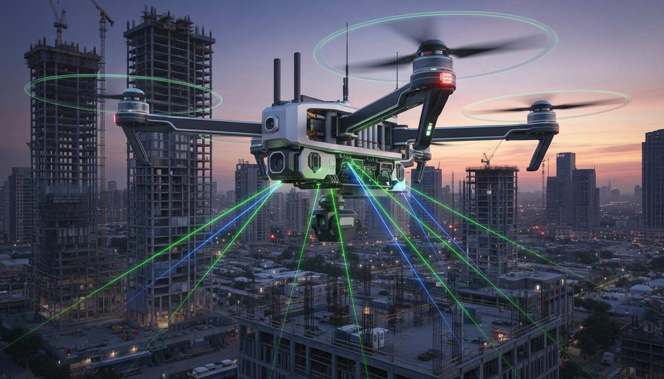

In the rapidly evolving world of geospatial technology, the 3D laser scanner drone has emerged as a game-changer. By merging the precision of Light Detection and Ranging (LiDAR) with the mobility of Unmanned Aerial Vehicles (UAVs), industries from construction to archaeology are capturing data with unprecedented speed and accuracy.
Whether you are a land surveyor looking to upgrade your toolkit or a project manager seeking to reduce site risks, this guide breaks down everything you need to know about 3D laser scanner drones in 2026.
What is a 3D Laser Scanner Drone?
A 3D laser scanner drone is a specialized UAV equipped with a LiDAR sensor and an Inertial Measurement Unit (IMU). Unlike standard drones that take photos (photogrammetry), these drones emit thousands of laser pulses per second. These pulses bounce off objects and return to the sensor, creating a high-density “point cloud.”
How It Works: The Science of Light
The drone calculates the time it takes for each laser pulse to travel to a surface and back. When combined with GPS/GNSS data, the system assigns a precise $X, Y, Z$ coordinate to every point hit by the laser.
Where:
-
$d$ is the distance to the object.
-
$c$ is the speed of light.
-
$t$ is the elapsed time of the pulse’s flight.
Why Use LiDAR Drones Over Traditional Methods?
For decades, surveyors relied on terrestrial (ground-based) scanners. While accurate, they are limited by “line-of-sight” and physical terrain obstacles.
| Feature | Terrestrial Scanners | 3D Laser Scanner Drones |
| Speed | Slow (requires multiple setups) | Ultra-Fast (covers acres in minutes) |
| Terrain | Limited by accessibility | Unlimited (flies over cliffs/swamps) |
| Vegetation | Cannot see through leaves | Penetrates Canopy (reaches bare earth) |
| Safety | High (personnel on-site) | Maximum (remote operation) |
Key Benefit: The Power of “Multiple Returns”
One of the most significant advantages of a 3D laser scanner drone is its ability to penetrate dense vegetation. A single laser pulse can hit a leaf (first return), a branch (second return), and finally the ground (last return). This allows surveyors to create Digital Terrain Models (DTM) of the actual ground surface, even in thick forests.
Core Applications in 2026
1. Construction & BIM
Engineers use these drones to create “as-built” models. By comparing a 3D scan of a building-in-progress to the original BIM (Building Information Modeling) design, they can detect clashes or structural errors in real-time, saving millions in potential rework.
2. Mining & Volumetrics
Measuring stockpiles of ore or coal used to be a dangerous, multi-day task. A 3D laser scanner drone can fly over a quarry and provide volume measurements with sub-centimeter accuracy in under an hour.
3. Power Line & Infrastructure Inspection
Inspecting high-voltage power lines is hazardous. Drones equipped with 3D scanners can map the “sag” of wires and identify encroaching vegetation that might cause fires, all without a single technician climbing a tower.
LiDAR vs. Photogrammetry: Which Do You Need?
While both can create 3D models, they serve different purposes:
-
Choose Photogrammetry if you need high-resolution, photorealistic textures for visual presentations or real estate tours. It is generally more affordable but requires clear lighting.
-
Choose a 3D Laser Scanner (LiDAR) if you need high structural accuracy, need to work at night, or need to map ground surfaces hidden by trees.
Expert Tips for Choosing a Drone Scanner
When investing in this technology, look for these three critical specs:
-
Point Density: Measured in points per square meter ($pts/m^2$). Higher density means more detail.
-
Integration (IMU Quality): A drone is a moving platform. A high-grade IMU is essential to ensure that the “shake” of the drone doesn’t blur your 3D data.
-
Software Compatibility: Ensure the data (usually in .LAS or .LAZ format) can be easily imported into your CAD or GIS software.
The Bottom Line
The 3D laser scanner drone is no longer a futuristic luxury; it is a fundamental tool for modern industry. By automating the data collection process, it removes human error and provides a level of detail that was previously impossible to achieve.